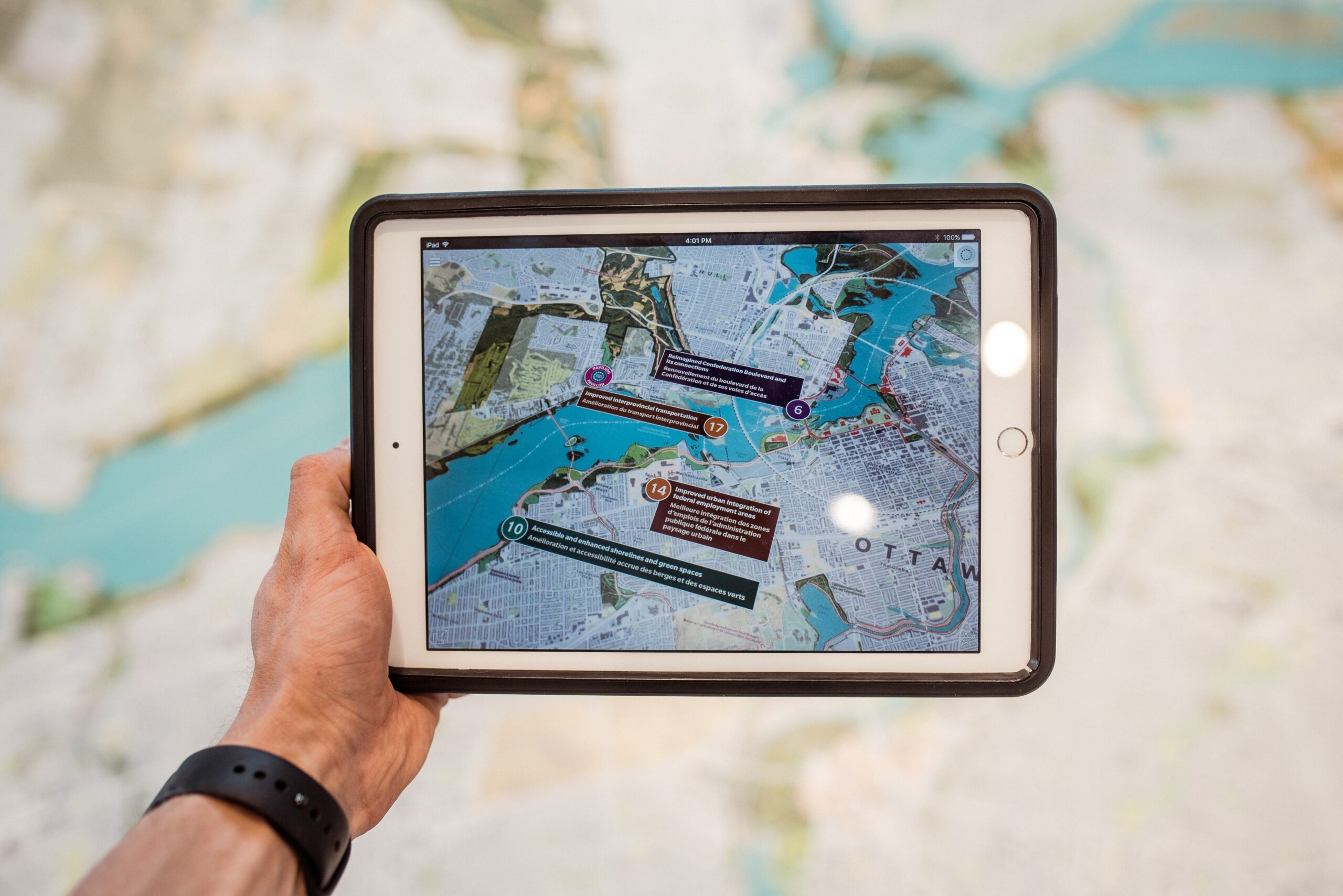


The use of digital twins in smart cities is growing in popularity. These virtual replicas or virtual realities are extremely useful for anticipating problems that may arise. Also for experimenting in a controlled and risk-free manner, or helping in the planning and development of cities. But what is a digital twin?
What does ‘digital twin’ actually mean?
A digital twin is a digitized copy of a smart city, a completely virtual scale model. It was first used in the construction of buildings and other infrastructures with BIM programs, which enable all the components of a building to be monitored.
The aim of this system was to anticipate any potential faults in the material. It soon extended to other services: sewage system, energy, roads, education, etc. The digital twin is like a SimCity (the video game) with a virtual city identical to the physical city.
How much does a digital twin cost?
It depends on the desired complexity. The truth is the cost of a digital twin may be secondary taking into account all that it can offer. As it is digitized, the cost stems from its constant updates to keep the system up to date. If a project is undertaken, a building is demolished or a tree is planted, this must be reflected.
These expenses are paid by the respective construction companies, mobility agents or the different local governments, among others. Very often there are municipal regulations that require this form of digital documentation to be submitted for each procedure. The financial return is guaranteed thanks to the use of digital twins as urban planning systems.
How to use digital twins to build the cities of tomorrow

An example of the use of digital twin technology is using them to understand which regions of a city will have a greater population growth, with the ultimate aim of creating new facilities such as health centers, schools, parks, etc. All of this requires mathematical models that complement the virtual model. It is not just a visual representation.
Another common use is urban mobility planning: Where should new streets be created? Which should be pedestrianized? Where should speeds be reduced? Which buildings need moving? Where are there more urban conflicts or which are the busiest areas?
But it can also be applied to participatory governance with citizen initiatives that shape the respective neighborhoods, to tenders by developers that show what a reformed building would look like, and even simulations of rising sea levels due to global warming.
Digital twins: how to improve city life
There is a city-state that has been using digital twins for its smart city since 2018. That city is Singapore and its ‘Virtual Singapore’ model. This digital city has been helping people with reduced mobility for some time now. The city council uses simulation to eliminate architectural barriers.
Other ways of improving city life is to simulate what would happen if solar panels were installed or a pneumatic waste collection system. Twins are particularly useful for conducting trials without affecting citizens. They are only implemented when they are confirmed to be suitable.
Digital twins for smart cities are the future of the virtual representation of cities to model them. They are the perfect environment for planning changes or anticipating problems that may arise in the city and thus improve the life of citizens.
Images | Tobias, iStock/Sasin Paraksa


