Author | Elvira Esparza
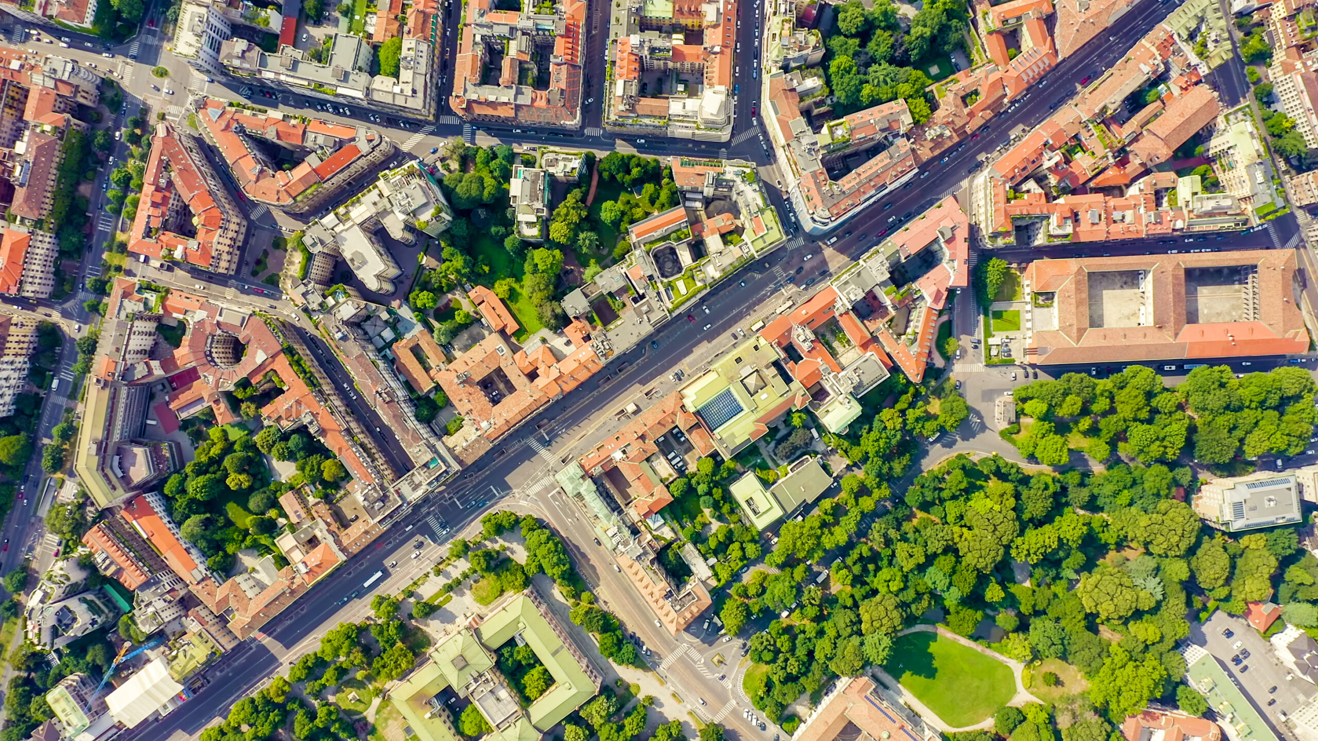
Cities are the center of human activity. The global population is concentrated in major urban centers and 7 in 10 people are expected to live in conurbations by 2050. These sprawling urban regions are evolving beyond the traditional notion of a single urban hub, transforming into vast networks of interconnected, urbanized areas. Given this scenario, cities face the challenge of minimizing the environmental impact of traffic, enhancing the sustainability of urban spaces, and optimizing the use of their resources.
To accomplish this, cities are investing in technology, data analytics, and smart infrastructure systems. According to a recent report by Frost & Sullivan “Smart traffic management: How Big Data Can Keep Smart Cities Moving,” cities that invest in data analytics and smart infrastructure to manage traffic flow in real time and implement efficient solutions are leading the way in urban transformation.
Integrating smart city technologies into newly developed cities in China and the Persian Gulf States is more straightforward. For example, the Chinese city of Shenzhen transformed from a rural village into a global megacity in just 50 years, and Dubai evolved from a small fishing port into one of the most advanced cities in the world. However, the situation is more complex in older European cities, where aging transport networks do not integrate as easily with smart technologies and require significant investments.
TomTom’s portfolio of traffic analytics products plays a key role in shaping smart cities by optimizing commercial operations and improving traffic management, even in cities where deploying a sensorization strategy is challenging due to aging infrastructures.
What challenges does urban traffic create for cities?

Traffic congestion reduces work productivity by consuming valuable time as drivers are stuck in jams, while also increasing costs for vehicle owners due to higher fuel consumption and maintenance expenses.
From an environmental perspective, traffic jams contribute to increased pollution due to the constant stopping and starting of vehicles, as well as the additional emissions generated while drivers search for parking spaces. In addition to air pollution, traffic also contributes to water pollution, as rain washes oil residues from roads into waterways; it reduces biodiversity and leads to acoustic pollution from excessive noise.
How are smart cities tackling the traffic problem?
In smart cities, transport infrastructure can prioritize assets like smart street lighting, which adjusts brightness based on pedestrian and traffic activity, and policies that repurpose roadways and parking areas into green spaces, as seen in Paris. Additionally, the development of multimodal transportation hubs and local shopping centers, accessible via various transport options, supports the concept of the 15-minute city, where essential services are within a short distance of residents.
Several cities have implemented numerous initiatives:
- Amsterdam has prioritized real-time smart traffic management. To reduce traffic into the city center, Amsterdam has implemented controls, particularly around the Central Train Station, aiming to limit unnecessary journeys and improve traffic flow. It can monitor traffic behavior by analyzing floating car data provided by TomTom.
- Singapore has adopted an integrated public transportation system. Its rapid transit system integrates shared ride services, shared bikes, and micromobility options, ensuring users have easy and convenient access to a variety of transportation modes.
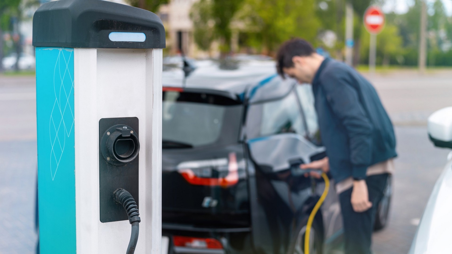
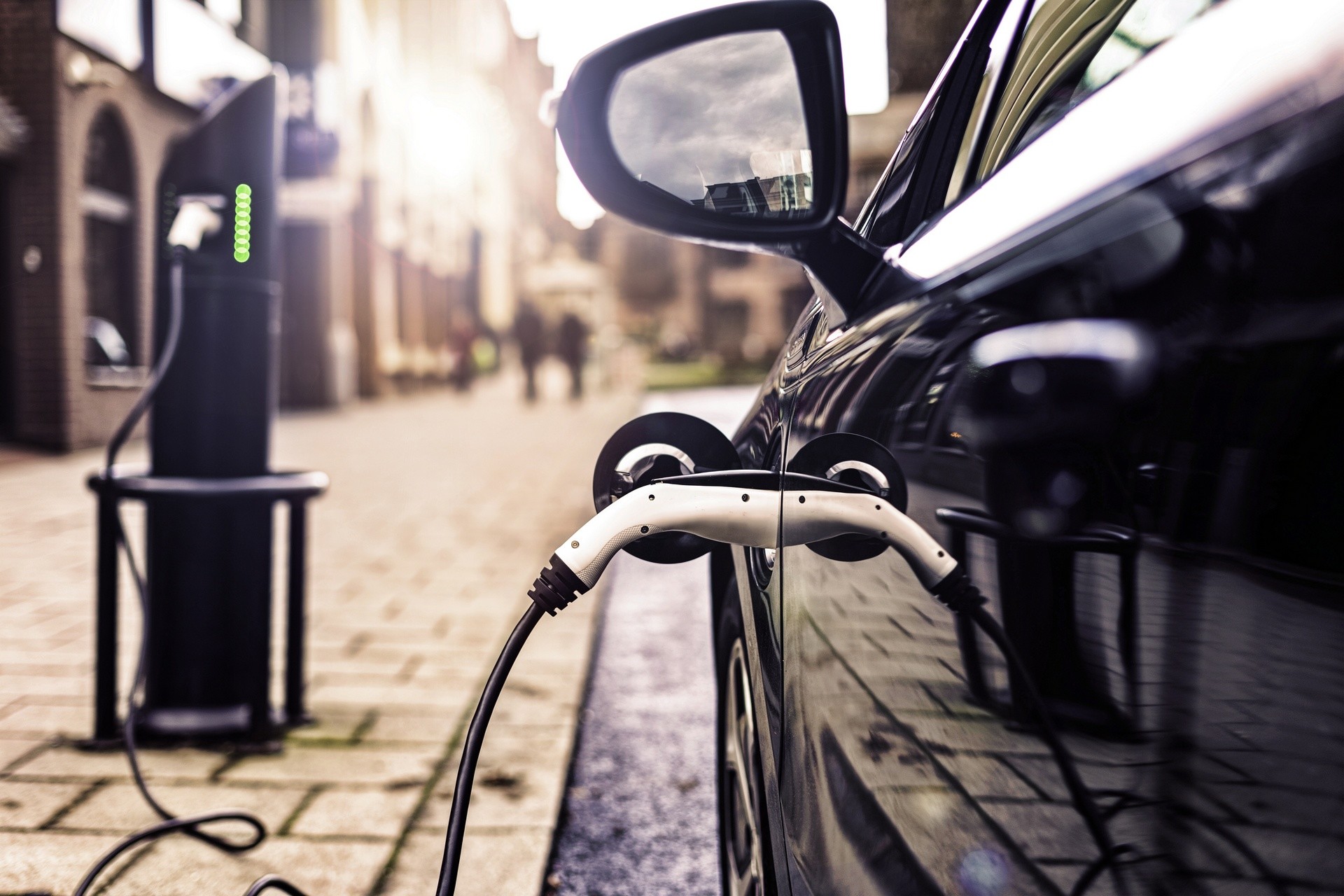
- Oslo has embraced the adoption of electric vehicles. Since 2021, the number of electric vehicles entering Oslo has surpassed that of petrol vehicles, driven by incentives for purchasing electric cars and the development of infrastructure, such as charging stations, the establishment of zero-emission zones, and priority access to parking spaces.
The most effective traffic management functionalities in smart cities are built upon the following types of solutions:
- Optimization of traffic signals through data analysis, route monitoring, live traffic monitoring, and traffic statistics.
- Enhancing road safety through intersection analysis, traffic jam warnings, and advanced driver assistance systems.
- Environmental impact assessment: analyzing historical traffic data, real-time traffic patterns, CO2 emissions, and electric vehicles.
- Project cost-benefit analysis: evaluating historical traffic data, real-time traffic patterns, CO2 emissions, and traffic indices.
How traffic analysis improves mobility

With the help of system integrators that merge hardware and software solutions for networks, traffic management, and data analysis, urban planners and technologists are able to implement technologies that boost sustainability, connectivity, and quality of life in future cities, fostering greater innovation and efficiency.
TomTom has been developing traffic management solutions for over 30 years, utilizing both historical and real-time traffic data. One in every five vehicles on roads worldwide contributes to TomTom’s traffic data. TomTom’s reports are utilized by urban planners, governments, and companies to assess costs, weather conditions, and the environmental impact of traffic, aiding in mobility decision-making for smart cities.
Through the TomTom Move portal or an API, users can access products that leverage their historical and real-time GPS data. This data enables the analysis and anticipation of real-time road conditions more effectively.
- In Wisconsin, the Department of Transportation utilizes TomTom Route Monitoring data to measure real-time delays caused by road works. No sensors or cameras are needed, resulting in significant cost savings for the department.
- In January of this year, Amsterdam reduced speed limits from 50 km/h to 30 km/h to lower pollution levels. The city used data from TomTom Traffic Stats to analyze traffic patterns before and after the implementation of this measure.
- In France, the highway authority for the Paris metropolitan area, the Direction des Routes d’Île-de-France (DiRIF), uses PTV Group’s traffic management technology, combined with TomTom Traffic data and road sensors, to provide real-time updates on traffic conditions.
- In the United States, StreetLight Data uses machine learning algorithms and advanced data processing techniques to analyze movement patterns of cars, bikes, and pedestrians. By partnering with TomTom, StreetLight Data can provide detailed insights on movement and traffic patterns not only within the United States but also internationally.
What are the future outlooks for smart cities?
The future of cities must address critical challenges such as climate change, population growth, migration, and emissions management. Thanks to the 60 billion data points gathered by TomTom daily across the globe, traffic managers in cities can design more effective strategies to improve mobility. And not just that: traffic managers can also measure urban activity, enabling them to anticipate urban planning changes required in both the short and medium term, boosting productivity and improving environmental conditions, and enhancing public health.
This content was created in collaboration with TomTom. Images provided by TomTom.


